
OCAANA, a gold elephant with circuit-line and fingerprint-line ears

OCAANA · Forest Intelligence & Command

Every decision begins with understanding.

OCAANA connects sensing at the forest boundary to the people who must decide and act, so farmers, forest officers and response teams get the right information at the right time.

Misty forest edge at dawn above a farm and village

The problem

A sensor can raise a signal.
Someone still has to decide.

Kerala’s farms, plantations and settlements sit right against the forest. The hard part is not noticing that an animal is there. It is what happens after.

  • What is happening?
  • Where?
  • Is the signal real?
  • Where is it heading?
  • Who needs to know?
  • What response fits?

Forest edge to command

See the whole boundary at once.

A concept view of the idea: sensing at the forest edge, a mesh to the core, and a console for the people who decide. Deterrence is zero-harm and nobody is put at risk.

Field sensing and herdZero-harm deterrent activeCore and console

How it works

From a signal in the forest to a decision in the field.

Not every signal should become an alert. OCAANA filters first, then tells the right people.

  1. Field

    Sensing at the boundary

    Seismic, thermal, acoustic, optical and radar sensors watch the forest edge, and existing fibre lines can act as a continuous acoustic sensor.

  2. Edge

    Filtering at the source

    Rain, wind, traffic, livestock and vegetation are filtered out near the field, before they ever reach a person.

    Not every signal should become an alert.

  3. Core

    Understanding

    Signals are fused into one picture: where it is, what it looks like, which way it is moving.

  4. People

    A person decides

    Officers and response teams choose the response. OCAANA informs the decision; it does not make it for them.

    Understand, decide, act. Technology informs. People decide.

  5. Response

    Zero-harm deterrence

    Light, directional sound or scent can be used to guide wildlife back, with no fences or traps to injure it.

  6. Inform

    The right information to the right people

    A farmer gets a warning. A response team gets the location. An officer gets the wider picture, through DharmIS.

System stepHuman decision point

The architecture

Field. Edge. Mesh. Core. Console.

OCAANA is an architecture, not a single device. Each layer is at its own stage, and we show them as they are.

  1. Field

    Field validation

    Where sensors and deterrents operate at the boundary.

  2. Edge

    Pilot-ready elements

    Local processing that filters and fuses signals near where they happen.

  3. Mesh

    In development

    A resilient link for moving field data through dense canopy and monsoon.

  4. Core

    Prototype

    The intelligence layer that turns signals into a situation picture.

  5. Console

    Roadmap

    The screen where decision-makers see what matters and respond.

Inside OCAANA

Nine devices. One system.

Each device has an honest status. Specs shown are design targets, not measured field results.

Detection

Seeing the movement, early.

VELI illustration
01 / 09 Proven technology · in development
VELI
IR detection and fencing array
Vector-tracking Edge-AI Linear Intrusion Array

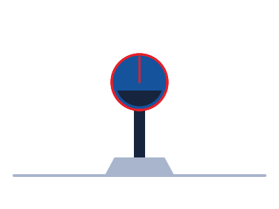
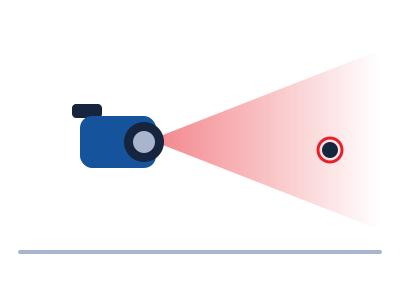
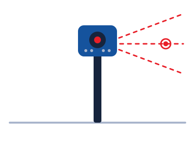
A dual visual-thermal camera core, six PIR sensors and a multi-beam vertical IR array capture body heat and movement vectors along the boundary. Every alert carries a GPS location and timestamp.

Design targets
  • Up to 120 m detection
  • 200 hr solar + battery backup
  • IP68, remote telemetry
  • −20 °C to +70 °C
REKHA illustration
02 / 09 Proven technology · in development
REKHA
Mid-range radar tracker
Radar-tracked Edge-AI Kinematic Horizon Array

All-weather radar with a false-alert filtering engine for autonomous perimeter surveillance. It reports speed, range and radar signature, and classifies targets automatically.

Design targets
  • Up to 2,000 m range
  • False alarms under 2%
  • 100 ms updates
  • Multi-target tracking
SABDA illustration
03 / 09 R&D
SABDA
Infrasound detection node
Spectral Acoustic Behaviormetric Detection Array

Long-range acoustic sensing that isolates elephant infrasound calls, with wind-noise suppression, onboard signal processing and microphone arrays for direction of arrival and herd call recognition.

Design targets
  • Up to 1,000 m range
  • Up to 1,000 Hz
  • IP68 enclosure
  • Solar + battery
MANN illustration
04 / 09 Being tested
MANN
Sub-surface seismic network
Movement-sensing Autonomous Networked Node

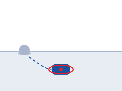
Buried 30 to 50 cm deep, MANN is a covert, weather-immune perimeter. It reads vibration and seismic wave patterns to estimate herd size, with no surface footprint and nothing to tamper with.

Design targets
  • Up to 2,000 m range
  • Up to 500 Hz
  • 4+ year lifespan
  • Edge computing
PRAAV illustration
05 / 09 R&D
PRAAV
Autonomous aerial patrol and verification drone
Predirected Reconnaissance Autonomous Aerial Verification Asset

The airborne link between ground detection and verified response. It launches on a high-level alert to verify threats day or night with a thermal imager and optical zoom, streaming encrypted video back to command.

Design targets
  • 75 min flight
  • 15 km encrypted video
  • 2 kg payload
  • Auto return-to-base
KOODU illustration
06 / 09 R&D
KOODU
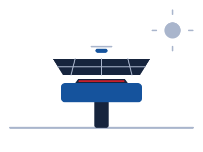
Solar-powered drone docking station
Ketic-hatch Off-grid Operational Drone Unit

A field-deployable, off-grid base that keeps the patrol drone ready around the clock. Its pneumatic hatch opens on an edge-AI alert, and onboard weather sensors hold launches in unsafe conditions.

Design targets
  • Launch in under 8 s
  • 800 W solar, 5 kWh storage
  • 4 patrols a day
  • 4G with LoRa fallback

Deterrence

Turning wildlife back without harming it.

MINNAL illustration
07 / 09 In development
MINNAL
Automated strobe and spotlight array
Multi-spectral Intensity Nocturnal Navigational Array Light

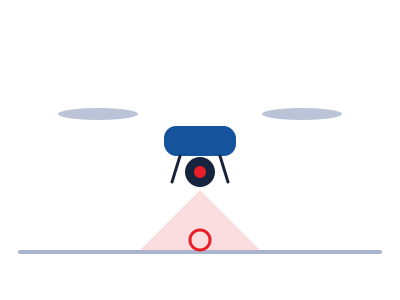
A drone-mounted payload that follows wildlife using the drone’s thermal sensing and turns it back from community boundaries with light alone, without physical harm.

Design targets
  • 10,000 lm spotlight
  • 1 to 20 Hz strobe
  • 360° pan, ±90° tilt
  • 100 m beam
SHANTHA illustration
08 / 09 In development
SHANTHA
Multi-frequency infrasonic acoustic deterrent
Sonorous Hazard Attenuation Network for Tactical Habitat Alignment

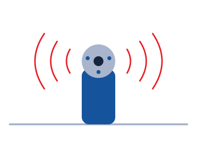
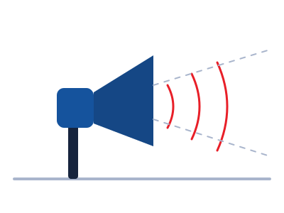
Projects narrow-beam, low-frequency soundscapes that mimic natural hazard cues, safely diverting wildlife from human perimeters without acoustic injury.

Design targets
  • 8 to 500 Hz
  • 30° beam cone
  • 200 m range
  • Species-specific profiles
KAAN illustration
09 / 09 Prototype · demo available
KAAN
Olfactory invisible boundary dispenser
Kinetic Automat-dispenser for Agricultural Navigational-barrier

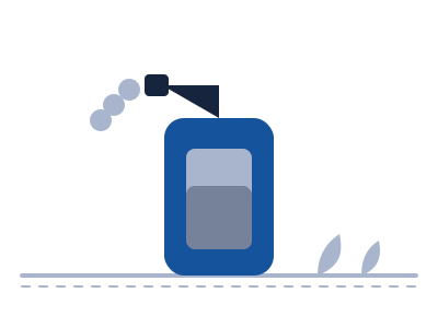
Builds a natural scent boundary with a pneumatic pulse spray of biodegradable, non-toxic botanical extracts that are safe for habitat and wildlife.

Design targets
  • 200 m perimeter
  • 72 hr per 10 L fill
  • Automated activation
  • Rapid deployment

Intelligence and command

The software that ties it together.

In development
DharmIS

The responder app. Rangers, Rapid Response Teams and officers get alerts, routes and field context on their phones.

  • Dispatch to the fieldInstant escalations with routing to the conflict zone.
  • Works offlineMaps and messaging keep working with no signal.
  • Village volunteersVerified villagers can register as local responders.
About DharmIS
Prototype
OCAANA Command

One map for every agency: detections, drone feeds, incidents and field teams, with village warnings that follow a three-tier threshold.

  • Live operating pictureGIS map with drone video and incident history.
  • Multi-channel alertsSMS, app push, voice calls and sirens.
  • Open integrationConnects to existing agency systems through standard APIs.
Roadmap
Wildlife Intelligence

Learning from movement history, water, crop cycles and weather to forecast where conflict may happen next, so crews can be in place first.

  • Movement forecastingA future capability, not yet available everywhere.
  • Digital twinA virtual herd modelled from historical routes.
  • Severity scoringProportional response for each threat level.

The zero-harm principle

Detect. Understand. Divert. Inform.

Not detect and harm. Human and wildlife safety are not opposing goals, and the response is built around guiding animals, never injuring them.

Directional deterrence

Narrow-beam sound, light and scent aimed where they are needed.

Anti-habituation, in research

Varied and escalating responses so animals do not learn to ignore them. This is a development concept that still needs field validation.

Complements barriers

Built to work alongside or reduce reliance on trenches and fences, not to replace every barrier.

Who it helps

You are not alone at the boundary.

Farmers

Earlier awareness of wildlife near the farm, and less need to watch the forest edge all night.

Farmer groups (FPOs)

One shared safety layer across many farms, with cluster-level alerts and shared visibility.

Forest Department

A consolidated operating picture, GIS awareness and a direct link to field teams.

Rapid Response Teams

Location, incident and movement information when they need it, not before.

Communities

Clear warnings through panchayats and local groups, where integrations are agreed.

Built in the field

Research. Prototype. Field validation. Pilot. Deployment.

Ontago is an R&D company. Not every OCAANA component is at the same stage, and the labels on this page show exactly where each one stands.